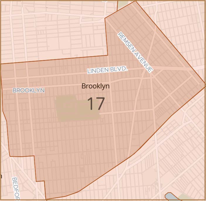
The Community Board 17 District is delimited by East 32nd Street, Glenwood Avenue, Nostrand Avenue, Foster Avenue, and Bedford Avenue on the west, Clarkson Avenue, Utica Avenue, and East New York Avenue on the north, East 98th Street on the east, as well as by the Long Island Rail Road on the south.
You may find additional community district information on the Department of City Planning’s website. This site includes data on demographics, housing, community facilities, and a downloadable community district base map.
Land Use Map
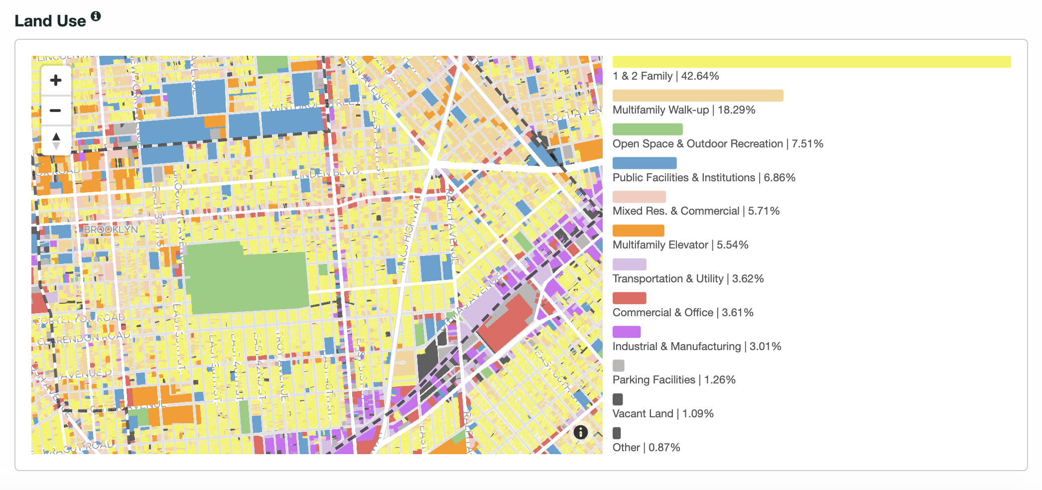
The Department of City Planning Land Use graphic map above shows a graphic breakdown of residential and commercial property distribution throughout Brooklyn Community Board 17
Community Boards have an important advisory role in dealing with land use and zoning matters. The Board is here to improve the quality of life for all district residents.
Please visit the Department of City Planning website to view more maps and data about Brooklyn Community Board 17.